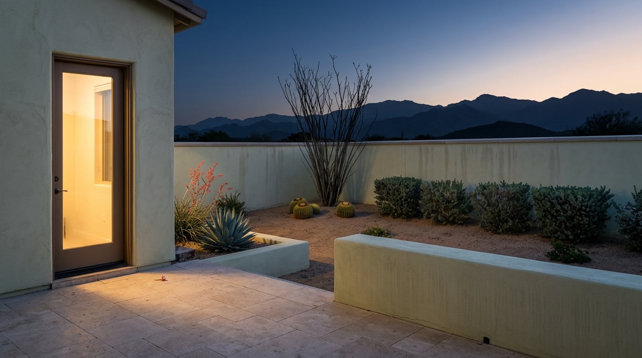
In the last week of August, Gold Butte National Monument sat a short drive south of town exactly as open as it was in January. There's no gate, no ranger checking passes, no season that flips on a calendar date. It's Bureau of Land Management public land, which means it's accessible every day of the year, all day and all night. And almost nobody was out there.
Anyone who's spent a full summer in Mesquite already knows why. AccuWeather's forecast for Mesquite in August 2026 put the monthly average high at 105°F, with daily highs running 98 to 109 that month. Overnight lows dropped as far as 62, but the daytime window when most people would want to be scrambling over sandstone or unloading a UTV sat squarely in triple digits. Gold Butte doesn't close. It just stops making sense.
The Openness Nobody Uses
There's something almost funny about a place that advertises itself as open 24 hours a day, 365 days a year when the honest answer is that maybe four or five of those months are usable for most people. The monument offers few amenities or services of any kind, and cell service drops out almost as soon as the pavement does. None of that changes with the season. What changes is whether a person can survive being out there long enough to see anything.
That gap between "technically open" and "actually worth going" is the whole story of how Mesquite residents relate to Gold Butte. Nobody waits for a website to announce a reopening. They wait for their own body to tell them it's safe to try again.
The Signal Isn't a Date, It's a Column in the Weather App
Ask a longtime Mesquite resident when Gold Butte season starts and most won't give you a month. They'll tell you they watch the overnight low. Once that number starts sitting reliably in the 60s at dawn rather than the 80s, the math on a trip changes completely, even while the afternoon high is still uncomfortable.
That's why the people who go earliest in the fall aren't waiting for October to arrive. They're leaving before sunrise, staging at Whitney Pocket while it's still dark, and getting their hiking or their off-highway driving done in the two or three hours between first light and the point where the desert turns hostile again. It's a schedule built around a thermometer, not a calendar, and it's the kind of detail that only shows up if you've actually made the drive more than once.
The Landmark That Isn't There Anymore
Here's the part that even people who've done this drive for years might not know yet. Riverside, the old roadside stop near the mouth of Gold Butte Road, was a service station going back to the mid-1920s that closed in the 1950s when I-15 got rerouted around it. For decades afterward, the ruins and a small cactus garden sat there as an unofficial landmark, the kind of thing you'd point out to a passenger without really thinking about it: almost there, almost through.
Sometime in the last couple of years, most of what remained at Riverside was bulldozed. The buildings and the cactus garden are gone, though some of the old landscaping walls are apparently still standing. It's a small thing in the scale of a nearly 300,000-acre monument, but it's the kind of change that only registers to someone who's made this drive before, not someone reading a generic guide to the area. If you haven't been out since before the demolition, the first stretch of the trip will look different than you remember.
Twenty Miles of Pavement That Isn't Really Pavement
The route itself hasn't changed, and it's worth laying out plainly because the surface conditions do most of the work of deciding who should attempt what.
| Segment | Distance | Surface | What you actually need |
|---|---|---|---|
| I-15 to Exit 112 (Riverside/Bunkerville) | About 5 miles south of Mesquite | Interstate | Any vehicle |
| Exit 112 across the Virgin River bridge to Gold Butte Road | About 3 miles | Paved | Any vehicle |
| Gold Butte Road to Whitney Pocket | 20 miles | Paved in name only, eroded into potholes with heavy washboarding | High clearance strongly recommended; drive time at least an hour for this stretch alone |
| Whitney Pocket into the interior loop (Little Finland, Devil's Throat, and beyond) | The road splits into a large loop that takes most of a full day to drive, longer than it looks on a map | Dirt, sand washes, eroded turns | Stock 4WD or better; if your vehicle is larger than an SUV, this is where it stays parked |
That table isn't decoration. It's the difference between a trip that takes half a day and one that ends with a call for a tow that won't get answered, because there's no signal to make the call in the first place.
What's Actually Worth the Rattling
Once past Whitney Pocket, the payoff is real, but it isn't evenly distributed. A few stops earn the drive on their own.
- Whitney Pocket itself is the easiest win, with sandstone formations, a Civilian Conservation Corps-era dam and cistern from the 1930s, and enough shade and flat ground to make it a natural staging point before going deeper; high clearance is strongly recommended for the drive there.
- The Falling Man petroglyph panel, part of the Luke Whitney Petroglyph Site, is one of the monument's most extensive collections of rock art, though reaching the panel itself involves some scrambling over rock, not just a walk-up view.
- Little Finland, deeper into the interior, is the payoff most people are chasing: wind-carved sandstone in shapes people compare to goblins, with palm trees and a natural spring nearby that feel out of place in a Mojave landscape.
- Devil's Throat, a sinkhole roughly 110 feet across that opened suddenly in the early 1900s, sits right off the main route and is worth the short stop, though the fencing around it has a history of collapsing along with the edges, so it's not a place to get close to.
One stop worth skipping unless you're genuinely prepared: Virgin Peak, the monument's highest point at a little over 8,000 feet. The road to the trailhead washed out in 2017, and the most recent reporting we could find still describes it as damaged. It's a real ten-mile ascent for people equipped for it, not a casual add-on to a day trip.
How the Trip Actually Gets Staged
For residents without their own off-highway vehicle, Mesquite has two practical options. Riverside OHV's staging area lets people who already own a UTV or ATV unload and launch from right at the gateway to Gold Butte Road, rather than trailering all the way to Whitney Pocket. For everyone else, Adventure Rentals in Mesquite rents Polaris RZRs with GPS routes loaded in, which solves both the vehicle problem and the navigation problem at once, given how easy it is to lose the correct fork once the road splits into its interior loop.
Whichever way someone goes, the same rule applies past the pavement: there's no cell service to fall back on. That's not a caution sign, it's just how the monument works, and it's why the people who go regularly tend to travel with someone else, extra water, and a paper map or downloaded route rather than trusting a phone signal that isn't coming back until they're closer to Mesquite Boulevard than to Little Finland.
Why This Matters More Than It Looks Like It Should
I live in Sun City Mesquite full time, and the rhythm of Gold Butte is one of those things that only makes sense once you've lived through a few of its cycles. It's not a place that opens for the season. It's a place that's always technically available and mostly unusable for a third of the year, which means the real skill isn't knowing where it is, it's knowing when your own tolerance and the desert's temperature finally line up. That kind of local knowledge doesn't show up on a map. It shows up after enough Augusts spent checking the overnight low instead of the calendar.
If you're weighing what it actually feels like to live somewhere with this kind of desert on your doorstep, not just visit it, that's the conversation I have with people considering Mesquite all the time. Reach out to Jonathan Donahue and let's connect.
